|
2023 Collins Road Map of Britain: Folded Road Map (Collins Road Atlas)
Sheet map, folded
Main Details
| Title |
2023 Collins Road Map of Britain: Folded Road Map (Collins Road Atlas)
|
| Authors and Contributors |
By (author) Collins Maps
|
| Series | Collins Road Atlas |
|---|
| Physical Properties |
| Format:Sheet map, folded | | Pages:2 | | Dimensions(mm): Height 245,Width 140 |
|
| ISBN/Barcode |
9780008447847
|
| Classifications | Dewey:912.41 |
|---|
| Audience | |
|---|
| Edition |
New edition
|
|
Publishing Details |
| Publisher |
HarperCollins Publishers
|
| Imprint |
Collins
|
| NZ Release Date |
30 January 2023 |
| Publication Country |
United Kingdom
|
Description
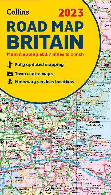
Discover new places with fully updated road atlases from Collins. Full colour double-sided map of Great Britain at 8.7 miles to 1 inch (1:550,000), with clear, detailed road network and administrative areas shown in colour. With clear colouring of counties and unitary authorities it is ideal for business users but it is also perfect for tourists as a route planning map. Main features * Fully updated * Counties and local council areas shown in colour * Clear, detailed road network * Town and city names, rivers, railway lines and canals are clearly shown * 16 city/town centre street plans * Index to place names * Mileage chart * Car ferry routes * Key in English, French and German Area of coverage Double-sided road map covering the whole of Britain. Northern England, Scotland and the Isle of Man are on one side with Southern England and Wales on the other.
Author Biography
Explore the world through accurate and up-to-date mapping.
|