|
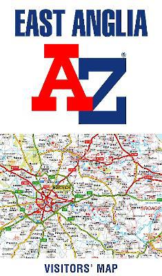
East Anglia A-Z Visitors' Map
Sheet map, folded
Main Details
| Title |
East Anglia A-Z Visitors' Map
|
| Authors and Contributors |
By (author) A-Z Maps
|
| Physical Properties |
| Format:Sheet map, folded | | Pages:1 | | Dimensions(mm): Height 236,Width 139 |
|
| Category/Genre | World atlases and world maps
Travel and holiday guides |
|---|
| ISBN/Barcode |
9780008388157
|
| Classifications | Dewey:912.426 |
|---|
| Audience | |
|---|
|
Publishing Details |
| Publisher |
HarperCollins Publishers
|
| Imprint |
HarperCollins
|
| Publication Date |
19 March 2020 |
| Publication Country |
United Kingdom
|
Description
Explore the whole region of East Anglia extending from London to the North Sea coast. Ideal for touring around Norfolk and The Broads and also covers Cambridgeshire, Bedford, Peterborough and Leicestershire. This detailed and up-to-date map contains 780 places of interest and an index to 4,200 towns and villages. Published at a clear 3 miles to 1 inch scale (2 kms to 1 cm), a handy road map includes primary route destinations, visitor attractions and places of interest. Plus, there is detailed informative text for Cambridge, Norwich and Norfolk Broads. The perfect map for exploring East Anglia whether you are a local or a tourist.
Author Biography
A-Z maps are the largest independent map publisher in the United Kingdom providing cartographic services, digital data products and paper mapping publications (including Street Atlases, Visitors Guides, Great Britain Road Atlases and The Adventure Atlas).
|