|
Edinburgh Pocket Map: The perfect way to explore Edinburgh
Sheet map, folded
Main Details
| Title |
Edinburgh Pocket Map: The perfect way to explore Edinburgh
|
| Authors and Contributors |
By (author) Collins Maps
|
| Physical Properties |
| Format:Sheet map, folded | | Pages:2 | | Dimensions(mm): Height 140,Width 90 |
|
| Category/Genre | Travel and holiday guides |
|---|
| ISBN/Barcode |
9780008368272
|
| Classifications | Dewey:912.4134 |
|---|
| Audience | |
|---|
| Illustrations |
Index
|
|
Publishing Details |
| Publisher |
HarperCollins Publishers
|
| Imprint |
Collins
|
| Publication Date |
6 February 2020 |
| Publication Country |
United Kingdom
|
Description
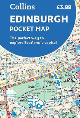
Explore new places with handy pocket maps from Collins. Handy little full colour map of central Edinburgh with a high level of detail. Clear mapping from Leith in the north to The Meadows in the south, and Edinburgh Zoo in the west to Holyrood Park in the east. Map at a scale of 1:11,000 (6 inches to 1 mile). Clear, detailed, full colour mapping is presented in a handy format ideal for the pocket or handbag. It is excellent value and covers the most visited area of central Edinburgh. It is an essential buy for tourists and residents alike. This map includes: * Detailed central area map * Around Edinburgh map extending to airport, Pentland Hills and Forth Road Bridge * Tourist locations * Tram, train and bus stations * Listing of major places to visit, with additional details for Edinburgh Castle and Holyroodhouse * Detailed street index
Author Biography
Explore the world through accurate and up-to-date mapping.
|