|
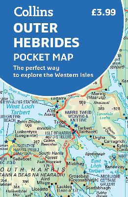
Outer Hebrides Pocket Map: The perfect way to explore the Western Isles
Sheet map, folded
Main Details
| Title |
Outer Hebrides Pocket Map: The perfect way to explore the Western Isles
|
| Authors and Contributors |
By (author) Collins Maps
|
| Physical Properties |
| Format:Sheet map, folded | | Pages:2 | | Dimensions(mm): Height 140,Width 90 |
|
| Category/Genre | Travel and holiday guides |
|---|
| ISBN/Barcode |
9780008325466
|
| Classifications | Dewey:914.114 |
|---|
| Audience | |
|---|
| Illustrations |
Index
|
|
Publishing Details |
| Publisher |
HarperCollins Publishers
|
| Imprint |
Collins
|
| Publication Date |
7 February 2019 |
| Publication Country |
United Kingdom
|
Description
Explore new places with handy pocket maps from Collins. Handy little full colour map of the Western Isles of Scotland. Detailed mapping and tourist information for the islands of Lewis, Harris, Uist, Benbecula, Barra and St Kilda. Excellent value and very detailed for its size. Main features of this map include: * Clear mapping at a scale of 3.2 miles to 1 inch * Tourist attractions located and described * Ideal for touring with sights, places to stay, cafe/restaurant, things to do all on the map * Transport links map showing how to get to and depart the islands * Index to places of interest and place names Essential for those planning a trip around the Western Isles.
Author Biography
Explore the world through accurate and up-to-date mapping.
|