|
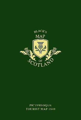
Black's Map of Scotland: Picturesque tourist map 1840
Sheet map, folded
Main Details
| Title |
Black's Map of Scotland: Picturesque tourist map 1840
|
| Authors and Contributors |
By (author) Adam Black
|
|
By (author) Charles Black
|
|
By (author) Collins Books
|
| Physical Properties |
| Format:Sheet map, folded | | Pages:1 | | Dimensions(mm): Height 176,Width 116 |
|
| Category/Genre | British and Irish History |
|---|
| ISBN/Barcode |
9780008251154
|
| Classifications | Dewey:912.411 |
|---|
| Audience | |
|---|
|
Publishing Details |
| Publisher |
HarperCollins Publishers
|
| Imprint |
Collins
|
| Publication Date |
7 September 2017 |
| Publication Country |
United Kingdom
|
Description
Scotland Map originally published to accompany Black's Picturesque Tourist Guide of Scotland in 1840. Hand drawn map of how Scotland looked in the 19th century. This pull out map which was referred to in the Black's Guide as an 'accurate travelling map'. The hand drawn map has the counties at the time highlighted with coloured boundaries - something that would have been printed layer by layer, starting with the main black text and shading and then a separate printing for each colour over the black, one colour at a time. Black's Guide to Scotland was featured in the recent TV series Grand Tours of Scotland when Paul Murton used his guide to reveal historical changes in the landscape. The guide has been re-published and is available to accompany this map. ISBN 9780008251147
Author Biography
Adam Black founded his publishing business in 1807 in Edinburgh and was later joined by his nephew Charles. They are best known for publishing the 7th, 8th and 9th editions of the Encyclopaedia Britannica and acquiring the copyright of the Waverley novels. They first began publishing their travel guide books, Black's Guides, in 1839, and the last edition of their Tourist's Guide to Scotland was published in 1881.
|