|
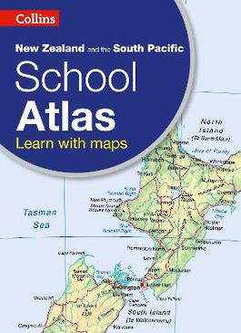
Collins New Zealand and the South Pacific School Atlas
Paperback / softback
Main Details
| Title |
Collins New Zealand and the South Pacific School Atlas
|
| Authors and Contributors |
By (author) Collins Maps
|
| Physical Properties |
| Format:Paperback / softback | | Pages:80 | | Dimensions(mm): Height 312,Width 226 |
|
| ISBN/Barcode |
9780007946914
|
| Audience | | Primary & Secondary Education | |
|---|
| Edition |
4th Revised edition
|
|
Publishing Details |
| Publisher |
HarperCollins Publishers
|
| Imprint |
Collins
|
| Publication Date |
9 April 2015 |
| Publication Country |
United Kingdom
|
Description
This introductory atlas for secondary school students aged 11-14 is designed to help students develop map, atlas and data handling skills. The content adheres closely to the requirements of the New Zealand and South Pacific school Curriculum. It features 80 pages of clear, easy to read maps, satellite images, an atlas skills section and hundreds of statistics. Its clear and accessible layout will motivate pupils of all abilities at secondary school. An easy to follow introductory 'map and atlas skills' section, useful for both teacher and pupil, is followed by clear, easy to read reference maps presented with locator maps, fact boxes and flags, descriptive text, detailed map keys and photos. The latest available country-by-country statistics are listed in a separate section and the index includes full latitude and longitude values. Colour coding of the titling and marginalia aids the identification of the sections within the atlas.
Author Biography
Explore the world through accurate and up-to-date mapping.
|